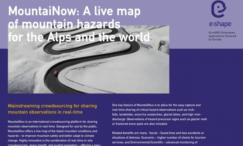
A few months ago, MountaiNow was selected to be part of a large European project with the sweet name of e-shape.
It’s time for us to tell you more in this article!
1 – e-shape project: objectives and vision
E-shape is a unique initiative that brings together decades of public investment in Earth observation for policy makers, citizens, industry and researchers.
In particular, it allows Europe to position itself as a global force in the field of Earth observation, using existing European capabilities.
This program includes 37 pilot applications, divided into 7 thematic areas addressing societal challenges.
In sum, e-shape aspires to foster the development of valuable Earth observation services with and for users.
To achieve this, many objectives and means are put in place:
- Support the coordinated exploitation of Earth observation data and services in Europe and beyond ;
- Generate key tools that will contribute to the sustainability of activities now and in the future, through open and inclusive processes;
- Streamline access to key resources (knowledge, technologies, markets and capital) enabling researchers, developers and industrial actors to provide services that deliver tangible benefits;
- Breaking down barriers, helping to develop services to reach a critical mass of users across borders and sectors.
To learn more about the e-shape project, find more information by clicking here.
2 – But then … why MountaiNow?
Climate change is transforming mountains, creating new needs for safety and adaptation.
As a mobile app offering real-time information on conditions, we were selected as a pilot for the project.
The combination of real-time crowdsourcing, spatial awareness, machine learning and guided navigation is very innovative.
Indeed, the development possibilities are numerous and could benefit everyone, offering a new/unique set of actionable information.
The objectives defined in the framework of the E-Shape project for MountaiNow are numerous, and consist in
- To co-design and develop a premium version of MountaiNow ready for the market
- To grow MountaiNow on a national and international scale
- Building on the principles of the Group on Earth Observations, enable a breakthrough in the use and downstream exploitation of complementary data sources such as crowdsourcing and satellites
To learn more about the success story, find more information by clicking here.
3 – What’s next?
Since the launch of MountaiNow in 2017, we have been striving to offer a quality free application, offering a multiple service, aiming to accompany the user in his mountain activity, but also for other causes, such as safety and adaptation to climate change.
The e-shape pilot project should lead to further major advances, with the launch of new features such as filters for targeted search, offline map recording, or multi-day snow depth forecasting in the entire Alpine region!
We will of course keep you informed, so stay tuned!

