Partners
MountaiNow - Safer Together
POC21 - Sfruttare la potenza del crowdsourcing per il monitoraggio dello stato della montagna
Affrontare le sfide in alta montagna richiede la fornitura di informazioni utilizzabili sui cambiamenti alpini. I programmi nazionali svizzeri di monitoraggio per i ghiacciai e il permafrost, GLAMOS e PERMOS, svolgono un ruolo fondamentale nella fornitura di queste informazioni, tuttavia spesso mancano di informazioni in situ in tempo reale sufficienti per sviluppare prodotti di monitoraggio tempestivi.
Il progetto POC21 sta esplorando il potenziale dei moderni metodi di osservazione per colmare questa lacuna di informazioni, e in particolare, valutando il potere del crowdsourcing per il monitoraggio a lungo termine delle montagne.
Presto verranno organizzate campagne di osservazione su MountaiNow per raccogliere osservazioni mirate in crowdsourcing, quindi rimanete sintonizzati ... Potete fare la differenza per le Alpi!
I partner chiave includono GLAMOS, PERMOS, Exolabs, e Planetek Italia. Il progetto POC21 è cofinanziato da MeteoSvizzera nell'ambito di GCOS Svizzera.
GLAMOS
La rete di monitoraggio dei ghiacciai svizzeri (GLAMOS) monitora e documenta sistematicamente le variazioni a lungo termine dei ghiacciai nelle Alpi svizzere. GLAMOS è gestito in maniera congiunta dall' ETH Zurich e dalle Università di Friburgo e di Zurigo in stretta collaborazione con la Commissione di esperti criosfera (CEC)

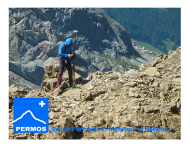
PERMOS
The Swiss Permafrost Monitoring Network (PERMOS) systematically documents the state and changes of mountain permafrost in the Swiss Alps. PERMOS was initiated in the 1990ies and is operational since the year 2000
Club Alpino Italiano
Un’associazione con una storia di oltre 150 anni. Costituito il 23 ottobre 1863 a Torino - il Club Alpino Italiano è una libera associazione nazionale che, “ha per iscopo l’alpinismo in ogni sua manifestazione, la conoscenza e lo studio delle montagne, specialmente di quelle italiane, e la difesa del loro ambiente naturale”.
Club Alpino Svizzero CAS
Il CAS funge da legame tra il mondo della montagna e le persone ad esso interessate. Il CAS partecipa attivamente allo sviluppo dello spazio alpino e dell’alpinismo.

Parco Nazionale Gran Paradiso
La rete dei sentieri che attraversa il Parco si estende per oltre 500 km attraverso le cinque valli comprese nell’area protetta.
Club Alpino Francese di Chamonix
Le CAF fait découvrir au plus grand nombre les joies de la montagne, et gère une partie des refuges du massif du Mont Blanc, le tout bénévolement
Rotary Roma Cassia
Sin dalla nascita nel 1905, il Rotary ha sposato e messo in pratica la filosofia “service above self”, “ servire al di sopra di ogni interesse personale”.
Institut Géographique National
L'IGN a pour vocation de décrire la surface du territoire national et l'occupation de son sol, d'élaborer et de mettre à jour l'inventaire permanent des ressources forestières nationales
OpenTopoMap
OpenTopoMap est une carte topographique gratuite, produite à partir d'OpenStreetMap et de modèles de terrain SRTM
Swisstopo
Swisstopo ha il compito di misurare la Svizzera. Esso si occupa di rilevare e documentare il paesaggio e il sottosuolo nonché di allestire geodati a riferimento spaziale di elevata qualità